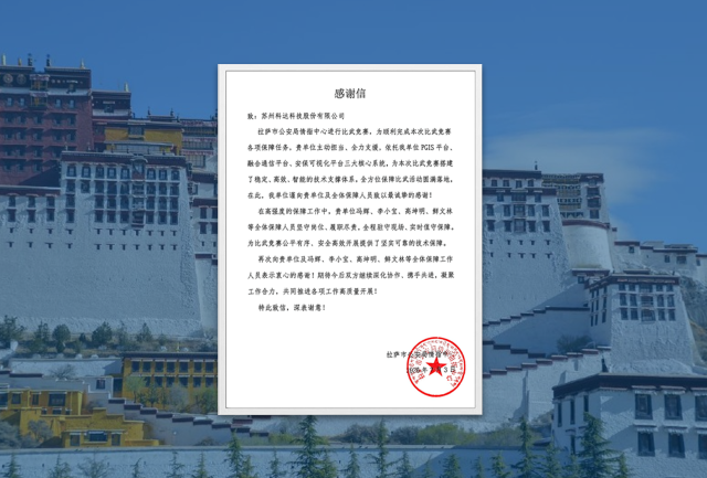
Recently, KEDACOM received a letter of thanks from the snowy plateau. In the letter, the Lhasa (Capital of Tibet) Public Security Bureau highly praised KEDACOM's PGIS platform, unified communication platform, and security visualization platform for the outstanding performance in plateau policing operations.
As the three core supporting engines of Lhasa's "Smart 110 System," the platforms integrate features such as precise intelligent dispatch, visualized command, and specialized security applications to build a full-process intelligent and integrated policing system. From city streets to the vast snowy plateau, KEDACOM stands shoulder to shoulder with the public security guardians, using video technology to illuminate safety across the snowy region.

1. Intelligent Dispatch Through the "Map for Policing"
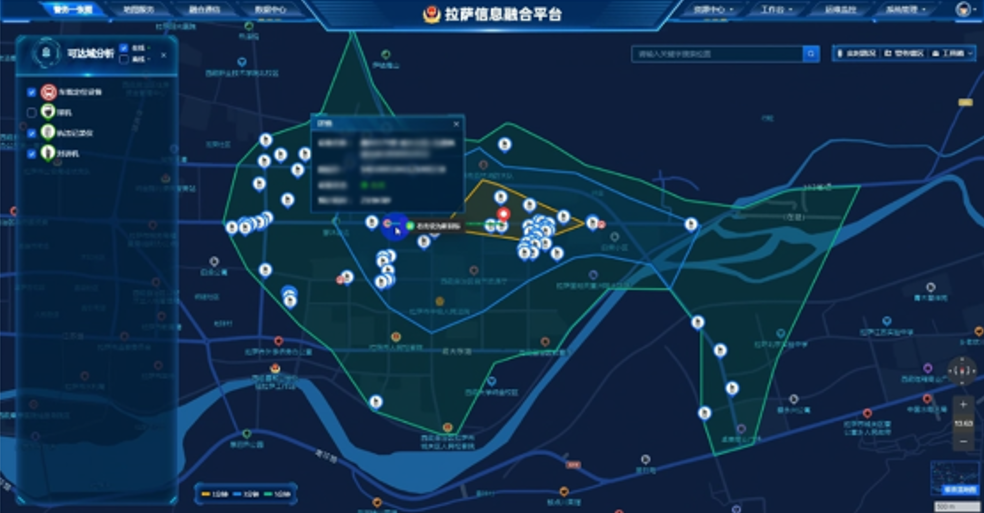
Based on the KEDACOM PGIS platform, Lhasa Public Security has built a "Map for Policing," deeply integrating real-time data on the city's police forces, vehicles, and more.
Once an alarm is received, the platform precisely pinpoints the incident location. It automatically recommends the jurisdiction, shows nearby police resources, and provides commanders with optimal dispatch and route recommendations—moving dispatch from “judgment by experience” to “data-driven decision-making.”
2. Full-process Visualized Command-and-Dispatch
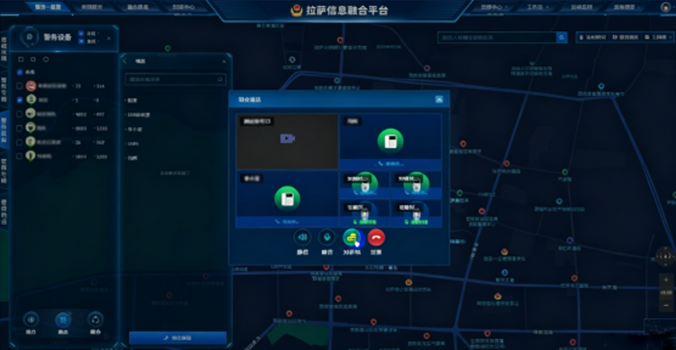
The integrated communications platform is compatible with access to command-information departments at all levels and communication resources of various police units. It covers conferences, telephone, body cameras, radios, monitoring, and more. During response, commanders can pull up on-site video surveillance or call front-line personnel’s communication devices with one click. It also helps track officers’ and vehicles’ movement trajectories in real time, and hold multi-party consultations with emergency partners.
3. Escort Large Events to Ensure Safety and Order
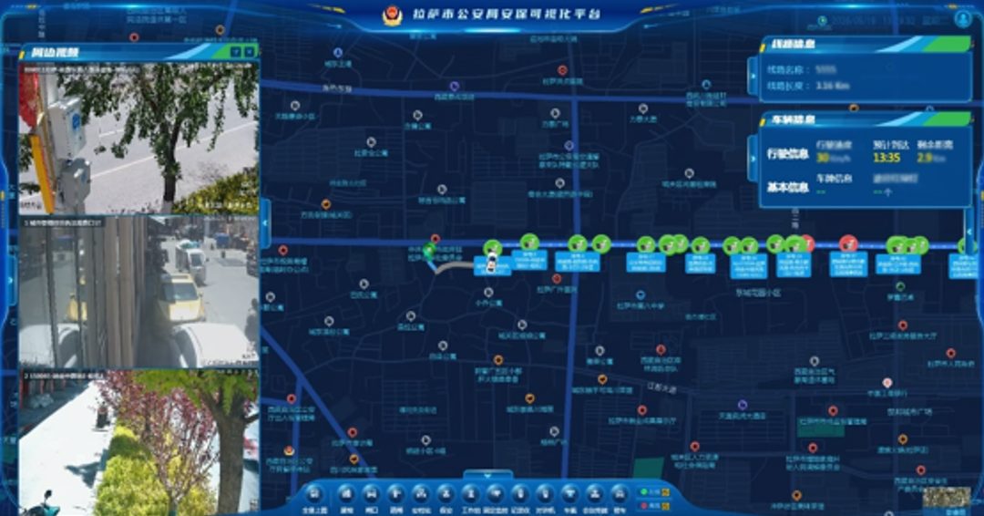
For events such as the Lhasa Ring Road cycling race and marathons, the command center can switch to specialized security layers with one click using the security visualization platform. Key on-site points, control areas, route conditions, police deployments, and other elements can all be viewed on a single screen. Videos automatically hand off tracking, giving real-time situational awareness and providing precise spatial guidance for on-site responses.
 globalsupport@kedacom.com